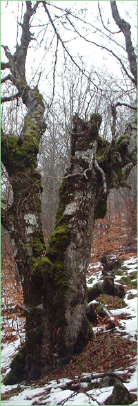
Skalno obrazuvanie Kostadin Tepe (Unique identification code in the register: 285)
Category: Natural Monument
Area: 5.0 hectares Location:
District: Targovishte, Municipality: Аntonovo, Locality: Malogradets
Falls in the territory of the following Regional Inspectorates of Environment and Water (RIEW):
SHumen - ul."Syedinenie" 71 et.4
Falls in the territory of the following Regional Forestry Directorates (RFD):
RFD Shumen: SFE Omurtag
Ordinance for announcement:
Ordinance No.1635 from 27.05.1976
 1635-1976
Aims of the declaration:
1. Rock formation
Current prohibitions and regimes:
1. It is prohibited to fell, prune or damage trees, as well as to pick or uproot any plants.
2. It is prohibited to graze any livestock at any time.
3. It is prohibited to chase wild animals and birds, their young, to destroy their nests and dens.
4. It is prohibited to build quarries for any inert or other materials, to damage or alter the natural image of the landscape, including the water flows.
5. It is prohibited to break, scribble on or damage in any way the rock and earth formations in the caves, the stalactites and other formations in the caves.
6. It is prohibited to carry out intensive lumbering.
7. Construction of any type is prohibited.
8. It is allowed to carry out sanitary lumbering and fell old trees with deteriorated decorative qualities.

|


 Български
 Contacts
 Превод на български