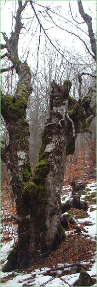
Ledenika - Peshtera (Unique identification code in the register: 9)
Category: Natural Monument
Area: 102.3 hectares Location:
District: Vratsa, Municipality: Vratsa, Locality: Vratsa
Falls in the territory of the following Regional Inspectorates of Environment and Water (RIEW):
Vratsa - ul."Ekzarh Josif" 81
Falls in the territory of the following Regional Forestry Directorates (RFD):
RFD Berkovitsa: SFE Vratsa
Ordinance for announcement:
Government decree No.2057 from 28.11.1960
1-3-9-2057-1960
Ordinance for change:
1.
Ordinance No.2810 from 10.10.1962
 2810-1962
2.
Change in the area - increase with Ordinance No.1449 from 21.12.1989
1449-1989
Aims of the declaration:
1. Cave - open to visits
Current prohibitions and regimes:
1. It is prohibited to collect stones and build quarries in the areas of protected natural sites.
2. It is prohibited to enter the caves, destroy and breat the cave formations (stalactites and stalagmites), as well as to litter them.
3. It is prohibited to collect or destroy the cave fauna.
4. It is prohibited to write or scribble on the walls, enter with torches or other smoking illuminants, as well as all other actions, which destroy the beauty of or damage the caves.
Overlapping (partial or full):
1.
Natural Park: Vrachanski Balkan
2.
PZ under the Bird Directive: Vrachanski Balkan
3.
PZ under the Habitat Directive: Vrachanski Balkan

|


 Български
 Contacts
 Превод на български