Vezhdata (Unique identification code in the register: 210)
Category: Protected Site
Area: 62.6 hectares Location:
District: Vratsa, Municipality: Vratsa, Locality: Chelopek
Falls in the territory of the following Regional Inspectorates of Environment and Water (RIEW):
Vratsa - ul."Ekzarh Josif" 81
Falls in the territory of the following Regional Forestry Directorates (RFD):
RFD Berkovitsa: SFE Vratsa
Ordinance for announcement:
Ordinance No.РД-151 from 21.02.2003
 151-2003
Aims of the declaration:
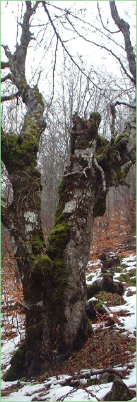
1. Protection of habitat of the plant Centranthus kellereri, bulgarian endemic and relict and territory with a characteristic landscape (rock cliff and talus).
Current prohibitions and regimes:
1. It is prohibited the use of any parts from the келереровия центрантус
2. It is prohibited grazing aand passing of domestic animals;
3. It is prohibited any economic activity;
4. It is prohibited extraction of seed materials without permittion from MOEW;
Overlapping (partial or full):
1.
Natural Park: Vrachanski Balkan
2.
PZ under the Bird Directive: Vrachanski Balkan
3.
PZ under the Habitat Directive: Vrachanski Balkan

|


 Български
 Contacts
 Превод на български