Chernata Skala (Unique identification code in the register: 150)
Category: Protected Site
Area: 893.7 hectares Location:
District: Haskovo, Municipality: Madzharovo, Locality: Gorni Glavanak, Gorno pole, Rumelia, Topolovo
Falls in the territory of the following Regional Inspectorates of Environment and Water (RIEW):
Haskovo - ul."Dobrudja",bl. 14, et.1
Falls in the territory of the following Regional Forestry Directorates (RFD):
RFD Kardzhali: SFE Harmanli
Ordinance for announcement:
Ordinance No.ĐÄ473 from 11.07.2001
 473-2001
Aims of the declaration:
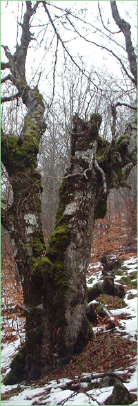
1. Conservation of the habitats and populations of protected and rare animal and plant species, more specifically Anthemis, Fritillaria pontica, Carduus thracicus, Ophisaurus apodus, Testudo graeca and Testudo hermanni, and others.
Current prohibitions and regimes:
1. It is prohibited any kind of new construction;
2. It is prohibited searching and prospecting of minerals with drilling and mining activities from january to march inclusive;
3. It is prohibited extraction of minerals in an open method;
4. It is prohibited cultivating and sanitary felling in the forest plantations;
5. It is prohibited to carry out felling in the forest plantations during the period from 1 january to 31 july incliding;
6. It is prohibited to carry out hunting activities;
7. It is rohibited alpinism/mountainering and hang gliding;
Overlapping (partial or full):
1.
PZ under the Bird Directive: Most Arda
2.
PZ under the Habitat Directive: Rodopi - Iztochni

|
 Ďđĺâîä íŕ áúëăŕđńęč