Register of protected areas in Bulgaria
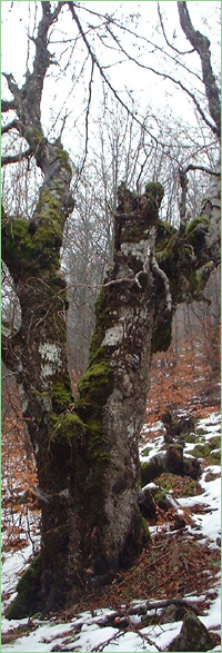
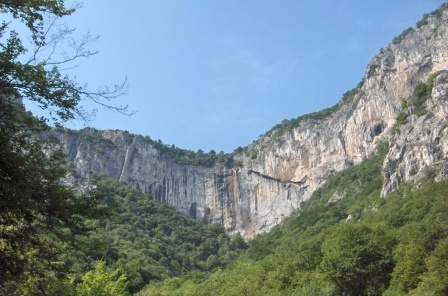
Vrachanski Karst (Unique identification code in the register: 38) Category: Reserve
Area: 1468.78 hectares Location: Falls in the territory of the following Regional Inspectorates of Environment and Water (RIEW): Falls in the territory of the following Regional Forestry Directorates (RFD): Ordinance for announcement: Ordinance for change:
1.
Change in the area - decrease with Ordinance No.9 from 09.01.1985
2. Change in the area - increase with Ordinance No.1449 from 21.12.1989 3. Change in the area - actualisation with Ordinance No.ĐÄ-704 from 06.10.2025 Aims of the declaration: Current prohibitions and regimes: Overlapping (partial or full):
|
|
||||||||||||
Questions on the content: biomon@eea.government.bg, phone: 00359 2 940 64 73 |
|||||||||||||
Technical issues: it@eea.government.bg |
|||||||||||||
Last update of the web application: 01.08.2011 |
 Ďđĺâîä íŕ áúëăŕđńęč