Kupena (Unique identification code in the register: 20)
Category: Reserve
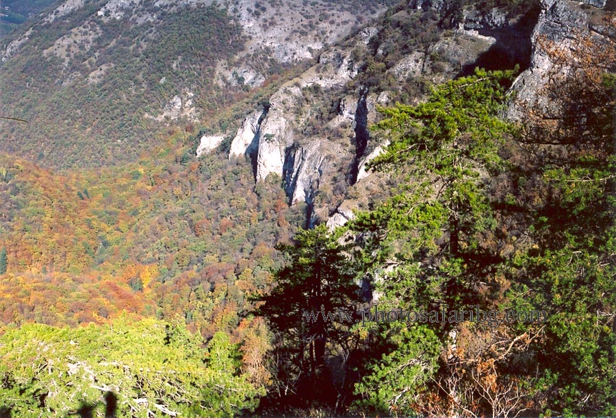
Area: 1761.1 hectares Location:
1.
District: Pazardzhik, Municipality: Bratsigovo, Locality: Ravnogor, Rozovo
2.
District: Pazardzhik, Municipality: Peshtera, Locality: Peshtera
Falls in the territory of the following Regional Inspectorates of Environment and Water (RIEW):
Pazardzhik - ul. "Gurko" № 3 et.4 p.k.220
Falls in the territory of the following Regional Forestry Directorates (RFD):
RFD Pazardzhik: SFE Peshtera
Ordinance for announcement:
Ordinance No.2969 from 24.11.1961
 2969-1961
Ordinance for change:
1.
Change in the area - increase with Ordinance No.3539 from 13.11.1973
3539-1973
2.
Change in the area - increase with Ordinance No.503 from 11.07.1979
503-1979
3.
Change in the area - increase with Ordinance No.530 from 07.07.1992
530-1992
4.
Accepting the management plan with Ordinance No.РД-798 from 02.12.2015
798-2015
Management plan for protected area (link):
Aims of the declaration:
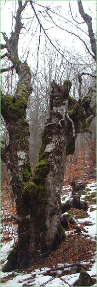
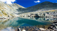
1. Conserved natural landscape
Current prohibitions and regimes:
1. All activities are prohibited in the forest reserve except:
1. its conservancy;
2. visits with a scientific purpose;
3. people walking on the designated paths, including when it's with an educational purpose;
4. collection of seeds, wild plants, and animals with a scientific purpose
Overlapping (partial or full):
1.
PZ under the Bird Directive: Zapadni Rodopi
2.
PZ under the Habitat Directive: Rodopi - Zapadni
|


 Български
 Contacts
 Превод на български