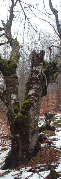
Chudnite Skali (Unique identification code in the register: 3)
Category: Natural Monument
Area: 12.5 hectares Location:
District: Varna, Municipality: Dalgopol, Locality: Аsparuhovo
Falls in the territory of the following Regional Inspectorates of Environment and Water (RIEW):
Varna - ul."Jan Palah" 4
Falls in the territory of the following Regional Forestry Directorates (RFD):
RFD Varna: SFE Tsonevo
Ordinance for announcement:
Government decree No.1869 from 17.02.1949
 1869-1949
Aims of the declaration:
1. Protection of rock formations
Current prohibitions and regimes:
1. It is prohibited to execute any changes, which might damage the distinctive nature or destroy the natural patterns of the rocks and the surrounding terrain.
2. It is prohibited to peck, break, and dig up stones, extract rocks from quarries, draw and scribble, as well as all other actions, which damage or destroy the natural monument.
Overlapping (partial or full):
1.
PZ under the Bird Directive: Kamchiiska planina
2.
PZ under the Habitat Directive: Kamchiiska i Emenska planina

|


 Български
 Contacts
 Превод на български