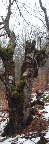
Padinite (Unique identification code in the register: 482)
Category: Protected Site
Area: 623.0 hectares Location:
District: Vratsa, Municipality: Vratsa, Locality: Pavolche, Vratsa, Zgorigrad
Falls in the territory of the following Regional Inspectorates of Environment and Water (RIEW):
Vratsa - ul."Ekzarh Josif" 81
Falls in the territory of the following Regional Forestry Directorates (RFD):
RFD Berkovitsa: SFE Vratsa
Ordinance for announcement:
Ordinance No.РД-526 from 12.07.2007
 526-2007
Current prohibitions and regimes:
1. It is prohibited construction of new roads, buildings, cable ways;
2. It is prohibited to open quarries and other activities, which modify the cave formations and the natural appearance of the site;
3. It is prohibited pollution with chemical materials, domestic and industrial waste;
4. It is prohibited hunting;
5. It is prohibited the use of chemicals for pest control in forestry and agriculture;
6. It is permitted the maintenance and reconstruction of the existing facilities of Agro-industrial complex Vratca;
7. It is permitted to carry out the provided in the forest managing plan, forest activities;
Overlapping (partial or full):
PZ under the Habitat Directive: Vrachanski Balkan

|


 Български
 Contacts
 Превод на български