Rogachitsa (Unique identification code in the register: 57)
Category: Protected Site
Area: 126.9 hectares Location:
District: Pazardzhik, Municipality: Velingrad, Locality: Yundola
Falls in the territory of the following Regional Inspectorates of Environment and Water (RIEW):
Pazardzhik - ul. "Gurko" № 3 et.4 p.k.220
Falls in the territory of the following Regional Forestry Directorates (RFD):
RFD Pazardzhik: SHE Alabak
Ordinance for announcement:
Ordinance No.21 from 08.01.1981
 21-1981
Aims of the declaration:
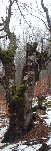
1. Protection of fir-spruce forest.
Current prohibitions and regimes:
1. It is prohibited to hunt
2. Construction of any type is prohibited, unless it is included in the area plan.
3. It is prohibited to carry out mining, geological, and other activities, which damage the natural landscape of the protected territory.
4. It is allowed to carry out cultivation and sanitary lumbering, after coordinating it with the regional inspectorate for environmental protection.

|


 Български
 Contacts
 Превод на български